
Mount Rainier is visible from Seattle on clear days, rising above the surrounding Cascades to a height that makes other mountains look like foothills. At 14,410 feet it's the highest peak in the Cascades and the most heavily glaciated mountain in the contiguous United States — 26 named glaciers, including Carbon and Emmons, the latter being the largest glacier by area in the lower 48.
Paradise, the subalpine meadow area at 5,400 feet on the south slope, is the center of most visits and earns the name. In mid-July when the wildflowers are at peak, the meadows below the snowfield are carpeted with lupine, paintbrush, penstemon, and avalanche lilies. The color density is hard to process — it looks manipulated in photographs but isn't. The NPS has documented over 700 floral species in the park.
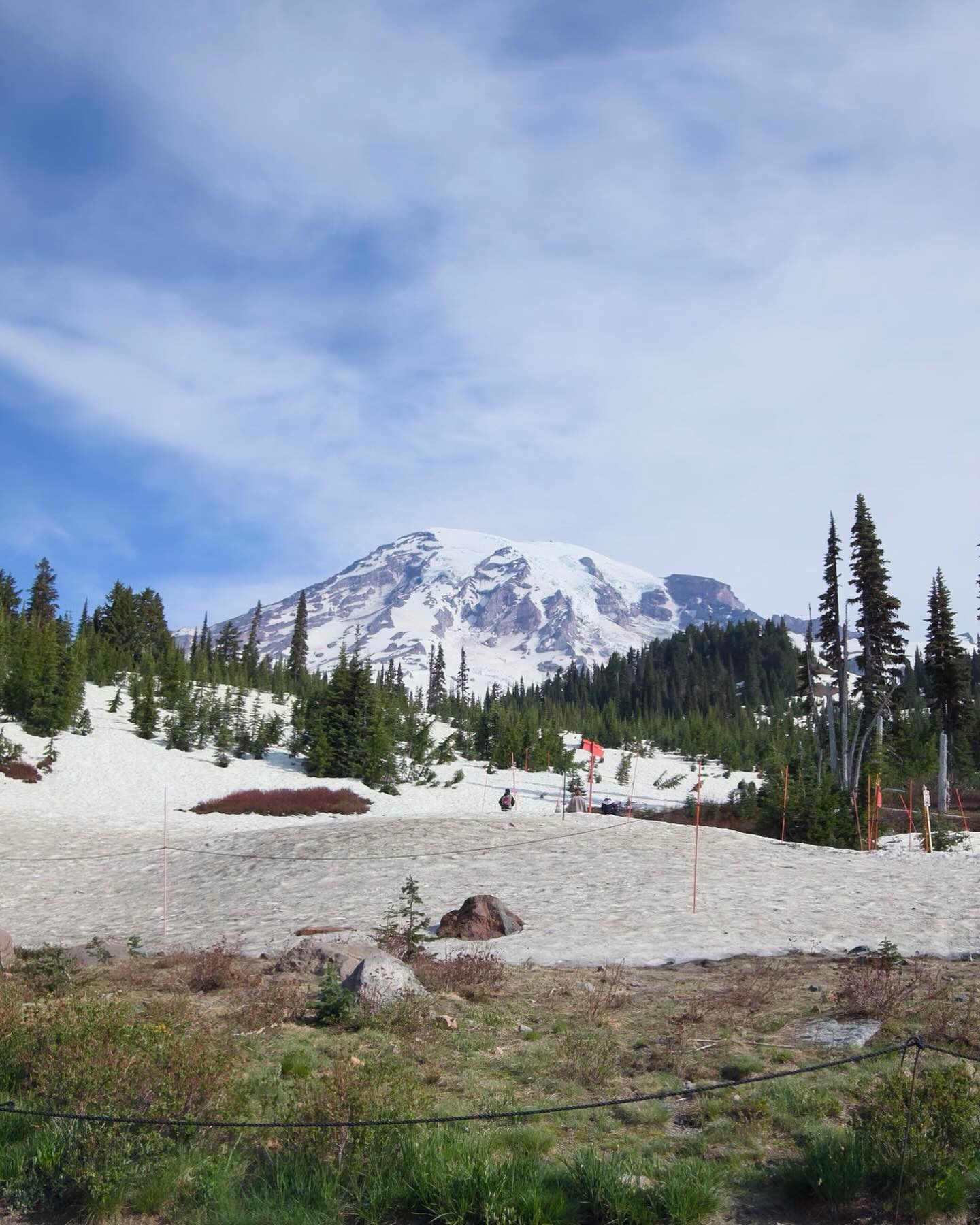
The Paradise area is also where it's snowiest in the world by official climate records: average annual snowfall of 671 inches. The visitor center there is one of the better-designed park facilities in the system, and the view of the mountain from the meadows directly above it — the glaciated south face rising to the summit dome — is the definitive Rainier image.
From Sunrise, the highest point accessible by paved road in the park at 6,400 feet, the north and east faces of the mountain are visible with Emmons Glacier in full view. The shadow the mountain casts at sunrise is enormous. Mount Rainier is an active volcano — the most dangerous in the country according to USGS — which adds a dimension to standing below it that weather alone doesn't provide.