
Taum Sauk Mountain doesn't announce itself. At 1,772 feet, it's the highest natural point in Missouri, but it's an elongated ridge rather than a peak — you reach the summit marker by walking a paved trail through oak and shortleaf pine forest without any dramatic elevation gain or sweeping views to mark your arrival. The granite plaque in the ground tells you you're there.
That understated quality is actually appropriate. The St. Francois Mountains, which include Taum Sauk and the surrounding highlands, are ancient — the exposed Precambrian volcanic rock is roughly 1.5 billion years old, among the oldest exposed rock in the Midwest. These are true mountains formed by volcanic upheaval, worn down by time into rounded ridges, but geologically distinct from the limestone karst that dominates most of Missouri.
The paved trail to the summit is about 0.4 miles from the parking area and suitable for most visitors. There's a fire tower nearby that offers the elevated views the summit itself doesn't provide. The longer draw for hikers is the Taum Sauk section of the Ozark Trail, which connects north toward Mina Sauk Falls — the highest waterfall in Missouri — in a three-mile loop that requires more effort but delivers more character.
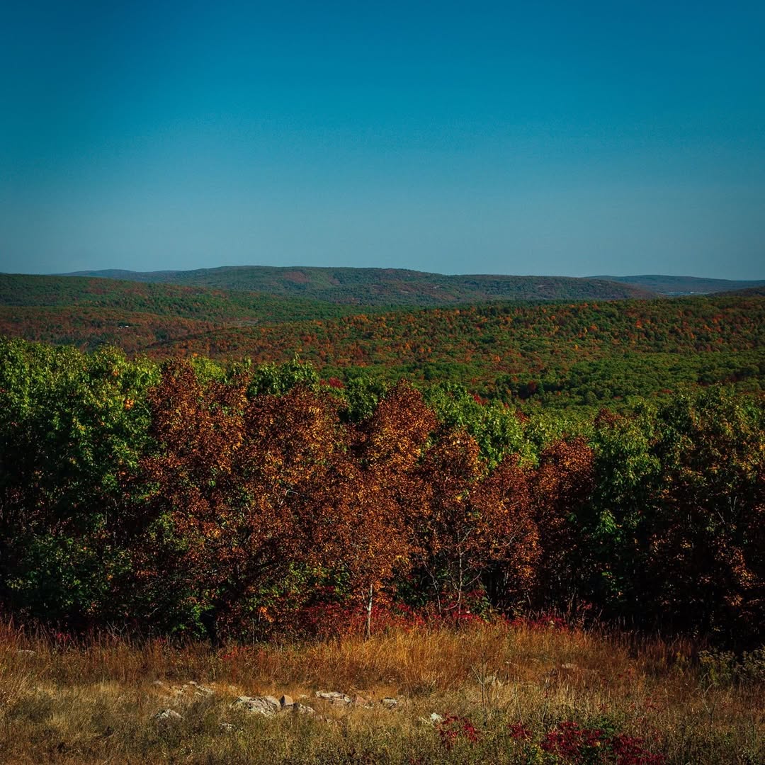
Come in October when the hardwoods turn. The St. Francois Mountains have their own fall color timing, a little later than the Ozarks proper, and the ridge-top views through changing leaves are worth planning around.